Eleuthera enjoys a warm tropical climate throughout the year, with daytime highs ranging from the mid-70s in winter to the low 90s in summer. Whether you are planning a stay near Governor's Harbour or Rock Sound, exploring the Glass Window Bridge, or checking conditions before heading out on the water, the 3-day forecast below is refreshed automatically from NOAA data. For tidal planning, see our Eleuthera tide tables.
What Is the Weather Forecast for Eleuthera, Bahamas?
Monday, June 1Overcast — High: 87°F / Low: 74°F
Precipitation: 0.00″ (8% chance)
Tuesday, June 2
Thunderstorm — High: 86°F / Low: 79°F
Precipitation: 0.00″ (10% chance)
Wednesday, June 3
Moderate drizzle — High: 81°F / Low: 78°F
Precipitation: 0.04″ (52% chance)
Governor's Harbour, Eleuthera — Accuweather 12-Day Forecast
Weather Underground — Local Weather Station Near Governor's Harbour
What Is the Weather Like on Eleuthera, Bahamas?
Average Temperatures & Rainfall — Eleuthera, Bahamas
Eleuthera's climate is subtropical, with warm winters and hot, humid summers. The island stretches over 100 miles north to south, so conditions near Gregory Town and the Glass Window Bridge can differ slightly from those at Rock Sound in the south. Hurricane season runs from June through November; September and October are historically the most active months in the Bahamas.
| Jan | Feb | Mar | Apr | May | Jun | Jul | Aug | Sep | Oct | Nov | Dec |
|---|---|---|---|---|---|---|---|---|---|---|---|
| Mean Daily Maximum Temperature — F° | |||||||||||
| 76 | 79 | 80 | 82 | 86 | 86 | 89 | 90 | 89 | 88 | 83 | 80 |
| Mean Daily Minimum Temperature — F° | |||||||||||
| 65 | 68 | 66 | 69 | 73 | 76 | 79 | 78 | 74 | 75 | 73 | 68 |
| Monthly Rainfall — Inches | |||||||||||
| 3.4 | 3.2 | 2.2 | .96 | 4.0 | 1.2 | 3.0 | 5.5 | 1.3 | 4.3 | 5.4 | 3.1 |
| Number of Rain Days | |||||||||||
| 6 | 4 | 3 | 3 | 5 | 2 | 4 | 7 | 4 | 6 | 8 | 7 |
Weather Radar for Eleuthera and the Bahamas
Track live satellite imagery and radar for Eleuthera and the wider Bahamas and Caribbean region using the links below.
- Real-Time GOES Imagery — Satellite Views of the Bahamas and Caribbean
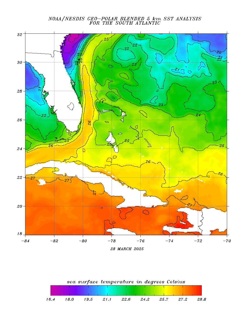
- Sea Surface Temperature
- Space, Science & Engineering Interactive Geostationary Satellite Images
- Weather Underground Atlantic Weather Radar Map
Current Hurricane Reports for the Bahamas
National Hurricane Center — Atlantic Basin Advisories
The advisories below are sourced directly from the NOAA National Hurricane Center and cover all active or potential tropical systems in the Atlantic basin that could affect Eleuthera and the Bahamas.
NHC Atlantic
Active tropical cyclones in the Atlantic, Caribbean, and the Gulf of AmericaThere are no tropical cyclones at this time.
No tropical cyclones as of Mon, 01 Jun 2026 12:58:20 GMT
Posted on 2 June 2026 | 6:21 pm
Atlantic Tropical Weather Outlook
135
ABNT20 KNHC 011121
TWOAT
Tropical Weather Outlook
NWS National Hurricane Center Miami FL
800 AM EDT Mon Jun 1 2026
For the North Atlantic...Caribbean Sea and the Gulf of America:
Tropical cyclone formation is not expected during the next 7 days.
&&
Today marks the first day of the Atlantic hurricane season, which
will run until November 30. The long-term averages for the number of
named storms, hurricanes, and major hurricanes are 14, 7, and 3,
respectively.
The list of names for 2026 is as follows:
Name Pronunciation Name Pronunciation
--------------------------------------------------------------------
Arthur AR-thur Leah LEE-ah
Bertha BUR-thuh Marco MAR-koe
Cristobal krees-TOH-bahl Nana NA-na
Dolly DAH-lee Omar OH-mar
Edouard eh-DWARD Paulette pawl-LET
Fay fay Rene re-NAY
Gonzalo gohn-SAH-loh Sally SAL-ee
Hanna HAN-uh Teddy TEHD-ee
Isaias ees-ah-EE-ahs Vicky VIH-kee
Josephine JOH-seh-feen Wilfred WILL-fred
Kyle KY-ull
A full list of Atlantic basin tropical cyclone names and
pronunciations can be found at:
www.nhc.noaa.gov/pdf/aboutnames_pronounce_atlc.pdf
This product, the Tropical Weather Outlook, briefly describes
significant areas of disturbed weather and their potential for
tropical cyclone formation during the next seven days. The issuance
times of this product are 2 AM, 8 AM, 2 PM, and 8 PM EDT. After the
change to standard time in November, the issuance times are 1 AM,
7 AM, 1 PM, and 7 PM EST.
A Special Tropical Weather Outlook will be issued to provide
updates, as necessary, in between the regularly scheduled issuances
of the Tropical Weather Outlook. Special Tropical Weather Outlooks
will be issued under the same WMO and AWIPS headers as the regular
Tropical Weather Outlooks.
A standard package of products, consisting of the tropical cyclone
public advisory, the forecast/advisory, the cyclone discussion, and
a wind speed probability product is issued every six hours for all
ongoing tropical cyclones. In addition, a special advisory package
may be issued at any time to advise of significant unexpected
changes or to modify watches or warnings.
NHC has the option to issue advisories, watches, and warnings for
disturbances that are not yet a tropical cyclone, but which pose the
threat of bringing tropical storm or hurricane conditions to land
areas within 72 hours. For these land-threatening "potential
tropical cyclones", NHC will issue the full suite of advisory and
watch/warning products. Potential tropical cyclones share the
naming conventions currently in place for tropical depressions,
being numbered from a single list (e.g., "One", "Two", "Three",
etc.).
The Tropical Cyclone Update is a brief statement to inform of
significant changes in a tropical cyclone, to post or cancel watches
or warnings, or to provide hourly position updates between
intermediate advisories when the storm center is easily followed by
radar. It can also be used in lieu of or to precede the issuance of
a special advisory package. Tropical Cyclone Updates, which can be
issued at any time, can be found under the WMO header WTNT61-65
KNHC, and under AWIPS header MIATCUAT1-5.
All NHC text and graphical products are available on the web at
https://www.hurricanes.gov. More information on NHC text and
graphical products can be found at
https://www.nhc.noaa.gov/pdf/NHC_Product_Description.pdf.
New and updated products for the 2026 season can be found at
https://www.nhc.noaa.gov/pdf/2026NHCNewProductsAndServices.pdf
You can also interact with NHC on Facebook at
https://www.facebook.com/NWSNHC. Notifications are available via X
when select National Hurricane Center products are issued.
Information about our Atlantic X feed (@NHC_Atlantic) is available
at https://www.nhc.noaa.gov/socialmedia/.
$$
Forecaster Pasch
Posted on 1 June 2026 | 6:21 am